GNSS Daily Briefing - November 21, 2026
Galileo HAS works aboard EMISAR, Japan updates BeiDou PPP corrections, GLONASS-enabled road rollers, swarm spoofing detection and aurora science.

The latest developments in satellite navigation stretch from spacecraft using Galileo corrections above Earth to construction machinery working with centimetre-scale guidance on the ground. Japan is also updating how its satellites distribute high-precision corrections for BeiDou, while new security research and auroral observations highlight the importance of protecting the measurements behind a trustworthy position.
Together, the stories show that robust positioning, navigation and timing (PNT) increasingly depends on algorithms, correction formats and sensor information as much as on the satellites themselves.
1. Galileo's high-accuracy corrections prove useful aboard a CubeSat
On November 20, the European GNSS Service Centre detailed the OrbFIX demonstration aboard Romania's EMISAR 1U CubeSat, launched into a roughly 520 km orbit on April 30. During orbital experiments on October 7 and 16, the receiver developed by Romanian InSpace Engineering (RISE) processed operational Galileo High Accuracy Service (HAS) corrections in space, achieving a reported 0.65 m three-dimensional position error after outlier removal, compared with 1.85 m for standalone GNSS. Ground reprocessing reached 0.34 m after 154 seconds of convergence, although the satellite's rotation repeatedly interrupted signal tracking and prevented complete PPP convergence in the 20-minute experiment.
Why it matters: Free Galileo HAS corrections, designed primarily for users on Earth, could also improve autonomous orbit determination, satellite formation flying and proximity operations. The experiment demonstrates a promising sub-metre result in orbit, not yet sustained decimetre-level performance.
Source: European GNSS Service Centre, November 20, 2026
2. Japan sets November 27 switch for BeiDou corrections over QZSS
Japan's Cabinet Office confirmed on November 20 that its MADOCA-PPP high-precision augmentation service will switch to updated BeiDou correction-message formatting on November 27 between 15:00 and 17:00 Japan Standard Time. The change follows the new IS-QZSS-MDC-005 specification and will be carried through the L6E signal of QZS-2, QZS-3, QZS-4, QZS-1R and QZS-6, as well as internet distribution. The update is intended to accommodate more BeiDou satellites in precise point positioning, and the final interface specification is now available to receiver developers.
Why it matters: A change in correction-message formats is a real integration issue for GNSS firmware, decoders and precision-positioning services. Supporting additional BeiDou satellites can improve the pool of observations available to PPP users, provided their equipment is updated to interpret the new messages.
Source: Japan Cabinet Office / QZSS, November 20, 2026
3. Russian GLONASS partners test two autonomous rollers on a high-speed rail project

In Russia's Novgorod region, AO GLONASS, Natsproektstroy and the Rybinsk road-machinery manufacturer demonstrated coordinated control of two domestically built soil compactors on the Moscow-St Petersburg high-speed rail construction project, announced on November 18 and reported again on November 20. One operator sets speed, pass counts and work patterns from a tablet, while the machines follow predefined work-zone boundaries with high-precision guidance. Project partners report roughly 10 cm pass deviation versus 50-70 cm under manual operation, and an estimated 20-30% productivity improvement; radar obstacle monitoring and remote emergency stopping remain part of the safety design.
Why it matters: This is an unusually tangible application of precise navigation: consistent compaction requires repeatable paths, not merely a dot on a map. The current two-machine trial is a step towards coordinating larger construction fleets, but the claimed productivity figures are project-reported rather than an independent field benchmark.
Source: CNews, November 18, 2026, citing AO GLONASS · TV St Petersburg, November 20, 2026
4. Researchers propose a way to spot GNSS spoofing that shifts an entire drone swarm
A preprint submitted November 19 by Minseok Park and Joon Soo Yoo describes a countermeasure against a difficult type of GNSS spoofing that moves a whole UAV formation while preserving its apparent geometry. Their proposed detector compares pseudorange and Doppler measurements across the swarm, exploiting the slight parallax created by nearby false-signal transmitters rather than relying on the drones' reported coordinates alone. In simulations using real GPS and Galileo satellite orbits, 16 drones identified the modelled attack in 13-60% of ten-second windows during straight flight and in all tested windows during formation turns with sufficiently precise Doppler observations.
Why it matters: A group of drones agreeing with one another does not guarantee that they are all in the right place. Using raw GNSS measurement differences could add an independent integrity test without extra antennas, but these results are simulation-based and still require real-world validation.
Source: Park and Yoo, arXiv:2611.26023, November 19, 2026
5. Finnish scientists turn unusual aurora photographs into clues about GNSS reliability
Researchers at the University of Oulu are seeking images and video of uncommon Northern Lights forms, including green "picket fences", small fleeting fragments and the pale or purple STEVE arc, according to a report on November 20. Their project uses machine learning to classify auroral structures, then compares the results with magnetometer and upper-atmosphere measurements to investigate conductivity and particle processes in the ionosphere. Photographers can contribute sequences through Finland's Taivaanvahti observation service, supplementing the narrower field of view and limited coverage of dedicated research instruments.
Why it matters: Changes in ionospheric electron density alter the propagation of GNSS signals and can degrade accuracy or continuity, especially at high latitudes. Better observational models of auroral structures may eventually make space-weather-related navigation disturbances easier to interpret, although this is research rather than a new operational correction service.
Source: GPS World, November 20, 2026, reporting University of Oulu research
Outlook
Precision positioning is extending into new environments, from orbital satellites to autonomous construction machinery, but accuracy on its own is not sufficient. Updated correction services, receiver-level integrity checks and a deeper understanding of the ionosphere will help determine how dependable GNSS becomes under less-than-ideal conditions.
Related articles
GNSS Daily Briefing - 12 November 2026
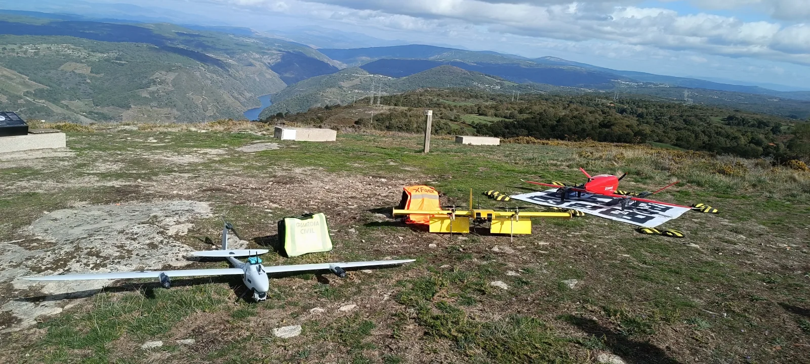
Galileo drone tests in Galicia, a likely GLONASS launch, Korea's independent timing network, anti-jam antennas and resilient construction positioning.
GNSS Daily Briefing - November 15, 2026
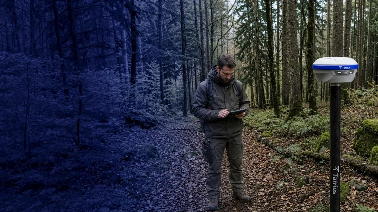
China launches a professional GNSS surveying range, handheld GNSS imaging advances, u-blox miniaturises receivers, Spain invests in resilient PNT and Galileo reports Q3 performance.
GNSS Daily Briefing - October 23, 2026
NavIC NVS-03, Sweden's anti-jamming GPS order, near-instant centimetre precision and resilient aviation navigation.

GNSS Daily Briefing - November 13, 2026
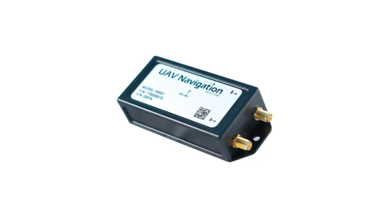
Resilient PNT requirements, Spain's HES01, acoustic positioning offshore, GPS test safety and a new multi-GNSS IoT module.
Comments
Sign in to comment.
No comments yet.