GNSS Daily Briefing - October 22, 2026
Five key GNSS stories on resilient drone navigation, Baltic interference, Türkiye’s LEO ambitions, lower-cost machine control and simpler smartphone-connected RTK.

GNSS Daily Briefing - October 22, 2026
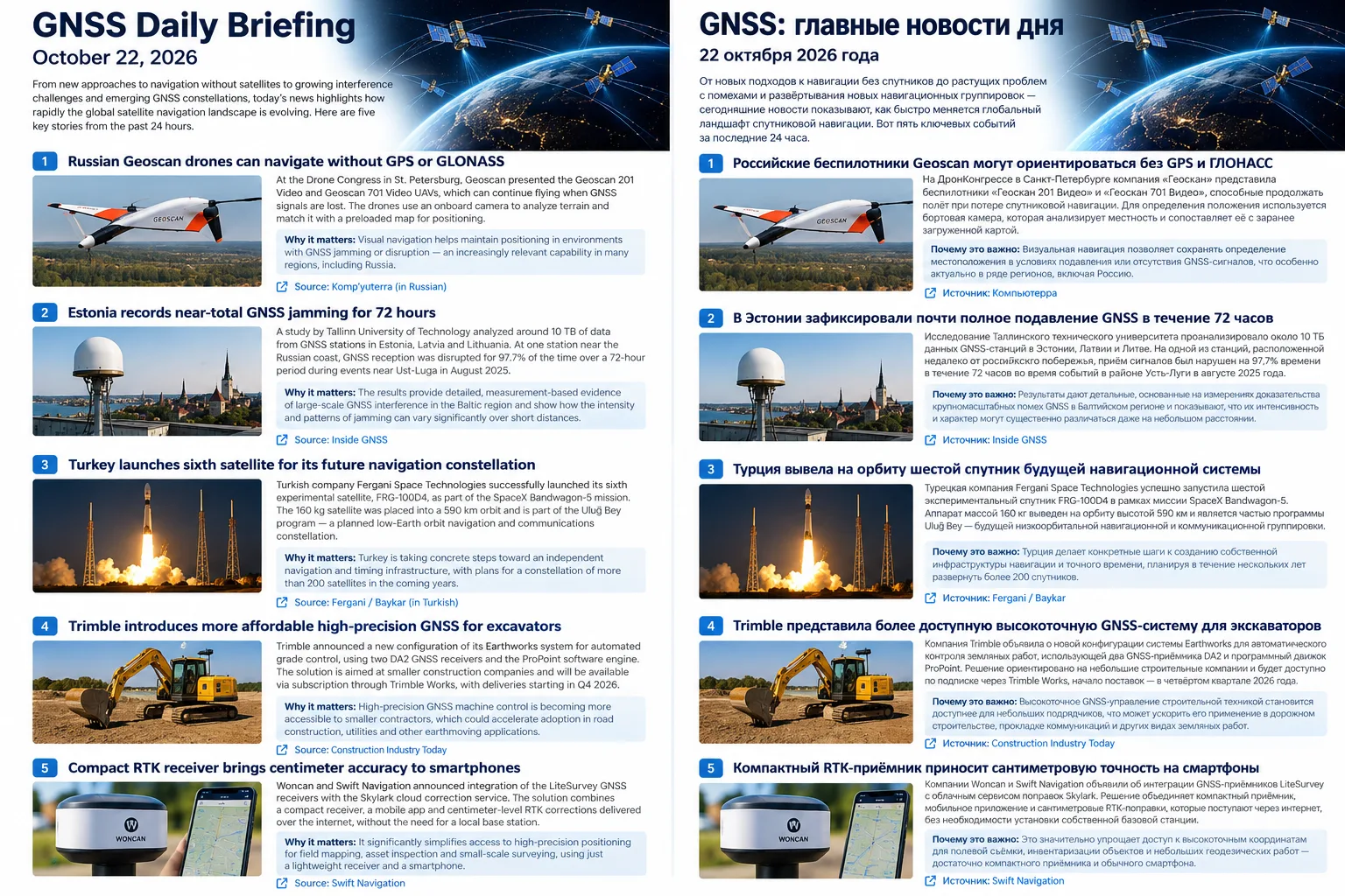
Today’s five stories show satellite navigation moving in two directions at once: systems are becoming more resilient when GNSS is unavailable, while high-precision positioning is becoming cheaper and easier to deploy.
1. Geoscan demonstrates drones that can keep flying without GPS
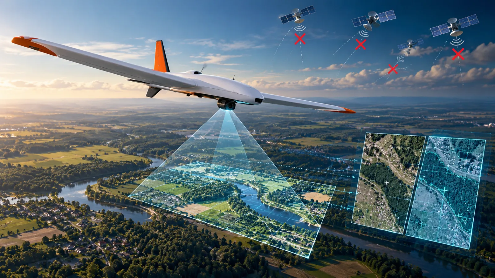
At DroneCongress in St. Petersburg, Geoscan presented the Geoscan 201 Video and Geoscan 701 Video systems with the ability to continue a mission after satellite navigation is lost. Their onboard cameras compare terrain imagery with preloaded maps, while the Geoscan 201 Video can stay airborne for up to three hours and cover routes of up to 210 km.
Why it matters: Visual navigation gives drones an independent fallback when GNSS signals are unavailable or unreliable. The main open question is how robust the method remains over visually repetitive terrain such as forests, water or snow.
2. Baltic ground stations reveal near-continuous GNSS denial
Researchers from Tallinn University of Technology analysed roughly 10 TB of CORS data from Estonia, Latvia and Lithuania collected between 2023 and 2025. At Estonia’s NJO1 station, carrier-to-noise levels fell sharply during interference, and during an August 2025 event the receiver experienced denial for 97.7% of a 72-hour period, with both L1 and L2 affected.
Why it matters: This is direct signal-level evidence from ground reference stations rather than reports from aircraft or ships. It shows how persistent GNSS interference can become and why regional monitoring networks are useful for distinguishing local receiver problems from wider radio-frequency disruption.
3. Türkiye launches another test satellite for the future Uluğ Bey constellation
Fergani Space’s FRG-100D4 reached a 590 km orbit after launching on SpaceX’s Bandwagon-5 mission. The 160 kg spacecraft carries navigation and communications payloads along with in-house avionics, and Fergani says it is a step toward the planned Uluğ Bey constellation of more than 200 satellites.
Why it matters: Türkiye is moving beyond isolated technology demonstrators toward a proposed independent low-Earth-orbit navigation and communications infrastructure. The project is still experimental, and no operational positioning accuracy or service availability has yet been demonstrated.
4. Trimble lowers the entry cost for 3D excavator control
Trimble introduced a new Earthworks configuration for excavators using two DA2 GNSS receivers and the ProPoint positioning engine. The subscription-based package is aimed at small and mid-sized contractors that want 3D grade control without the higher upfront cost of traditional machine-control systems.
Why it matters: Professional high-precision GNSS is moving from specialist infrastructure projects into smaller construction fleets. Lower hardware cost and subscription delivery could make automated grading and digital design workflows accessible to many more contractors.
5. Smartphone-connected RTK gets simpler with LiteSurvey and Skylark
Woncan and Swift Navigation paired LiteSurvey compact GNSS receivers with the Skylark precise-positioning service. Corrections arrive through the smartphone’s mobile data connection, removing the need to deploy a local base station or manually configure a regional CORS subscription.
Why it matters: The important change is workflow simplification rather than a new RTK principle. Centimeter-level positioning is becoming easier to use for utilities, forestry, asset mapping and construction teams that do not want traditional survey-controller setups.
Takeaway
The strongest trend today is the widening gap between “GNSS as a single source of coordinates” and modern resilient PNT. Some systems are learning to navigate without satellites at all, while others are making centimeter-level GNSS far easier to deploy in everyday field work.
Related articles
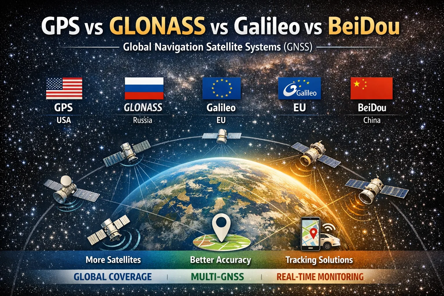
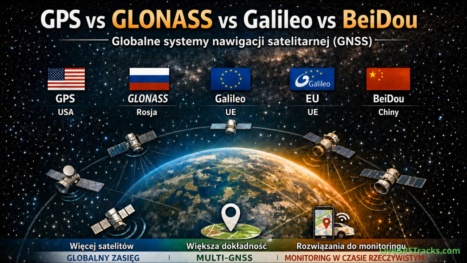
GPS vs GLONASS vs Galileo vs BeiDou: What’s the Difference?
Discover the differences between GPS, GLONASS, Galileo, and BeiDou. Learn how global navigation satellite systems work, why modern devices use multiple GNSS simultaneously, and how tracking platforms turn satellite positioning data into real-world applications.
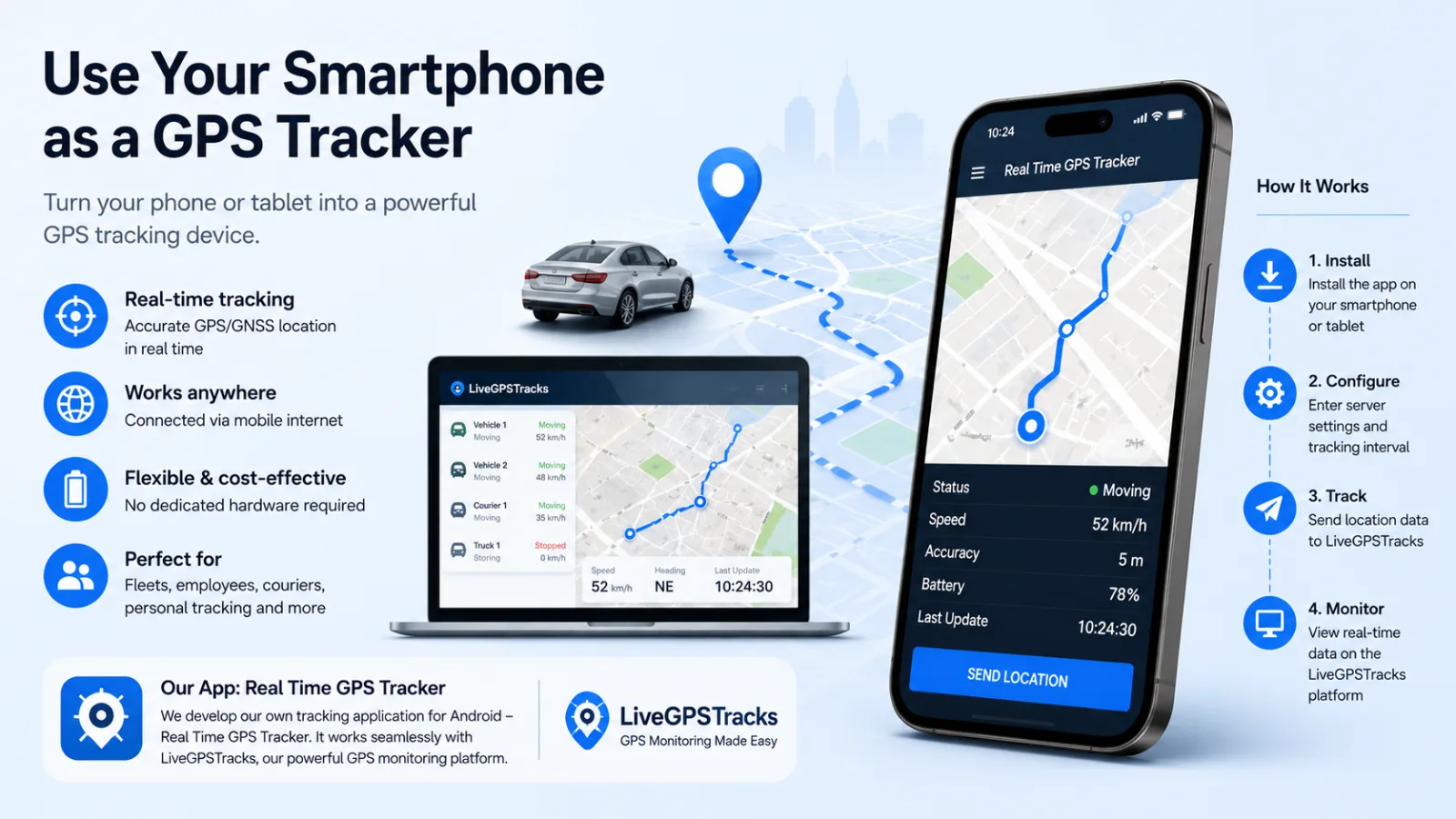
Can You Use a Smartphone or Tablet for GPS Tracking?
A smartphone or tablet can work as a software GPS tracker. Learn how tracking apps send location data, which settings matter, and when a phone is a practical alternative to dedicated hardware.
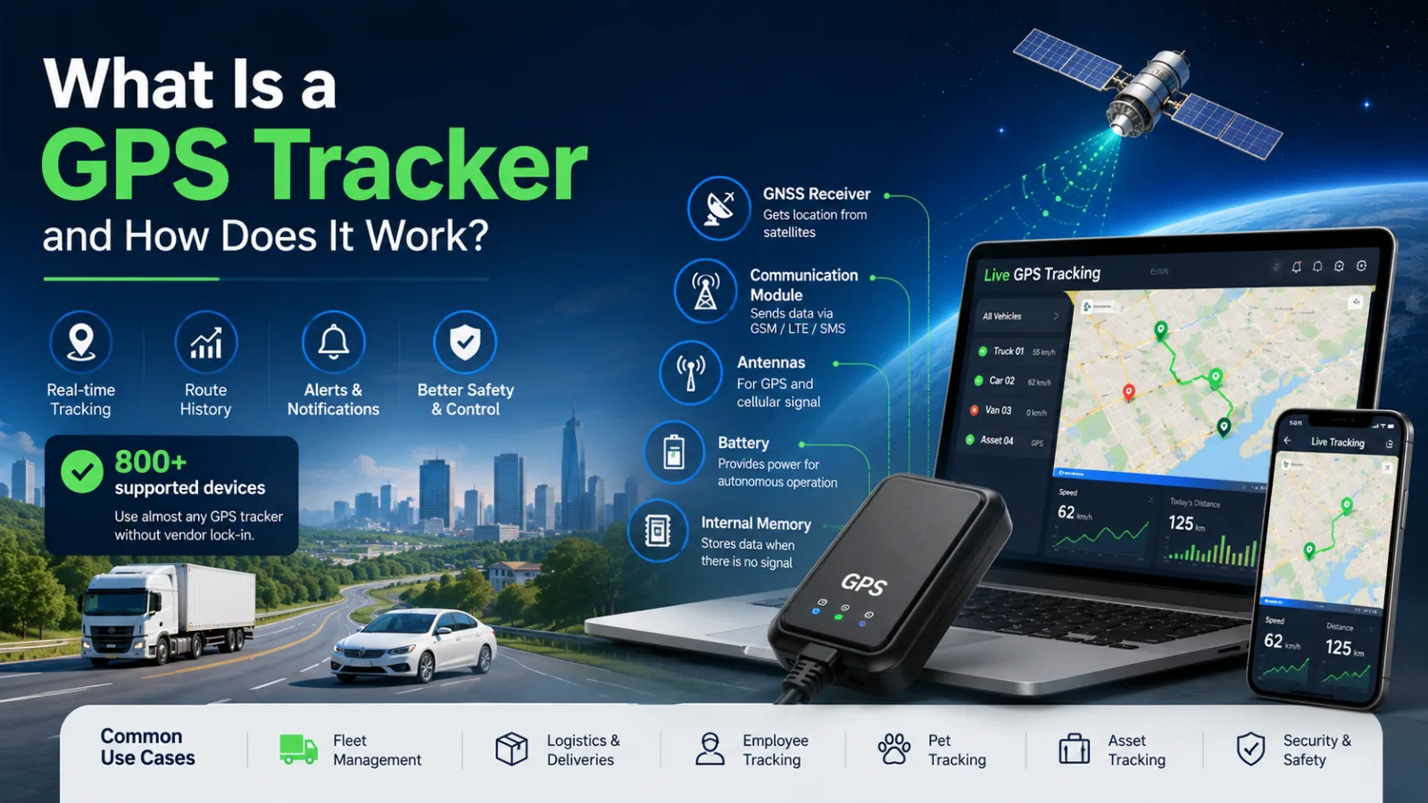
What Is a GPS Tracker and How Does It Work?
Learn how GPS trackers work, what components they use, and how tracking data reaches your screen. Discover different types of GPS trackers, common use cases, SIM card requirements, and how modern tracking platforms support 800+ devices worldwide.
GPS, GLONASS, Galileo i BeiDou — czym różnią się systemy GNSS?
Sprawdź, po co istnieje kilka globalnych systemów nawigacji, czym różnią się ich orbity i dlaczego telefon lub lokalizator korzysta z wielu GNSS naraz.
Comments
Sign in to comment.
No comments yet.