GNSS Daily Briefing - October 25, 2026
Satellite sensing of GNSS jamming, NATO test equipment, Iridium-backed positioning, real-time precision limits and C-band antennas.

GNSS Daily Briefing - October 25, 2026
New spacecraft can now help pinpoint the radio interference that disrupts satellite navigation, while manufacturers are bringing independent position and timing sources into compact devices. The latest developments also show why testing and operational precision remain two different things.
From a NATO training procurement to experimental C-band navigation and multi-constellation research, the focus is on keeping location and time trustworthy when the conventional GPS fix is no longer enough.
1. Three new HawkEye 360 satellites will map radio interference from orbit
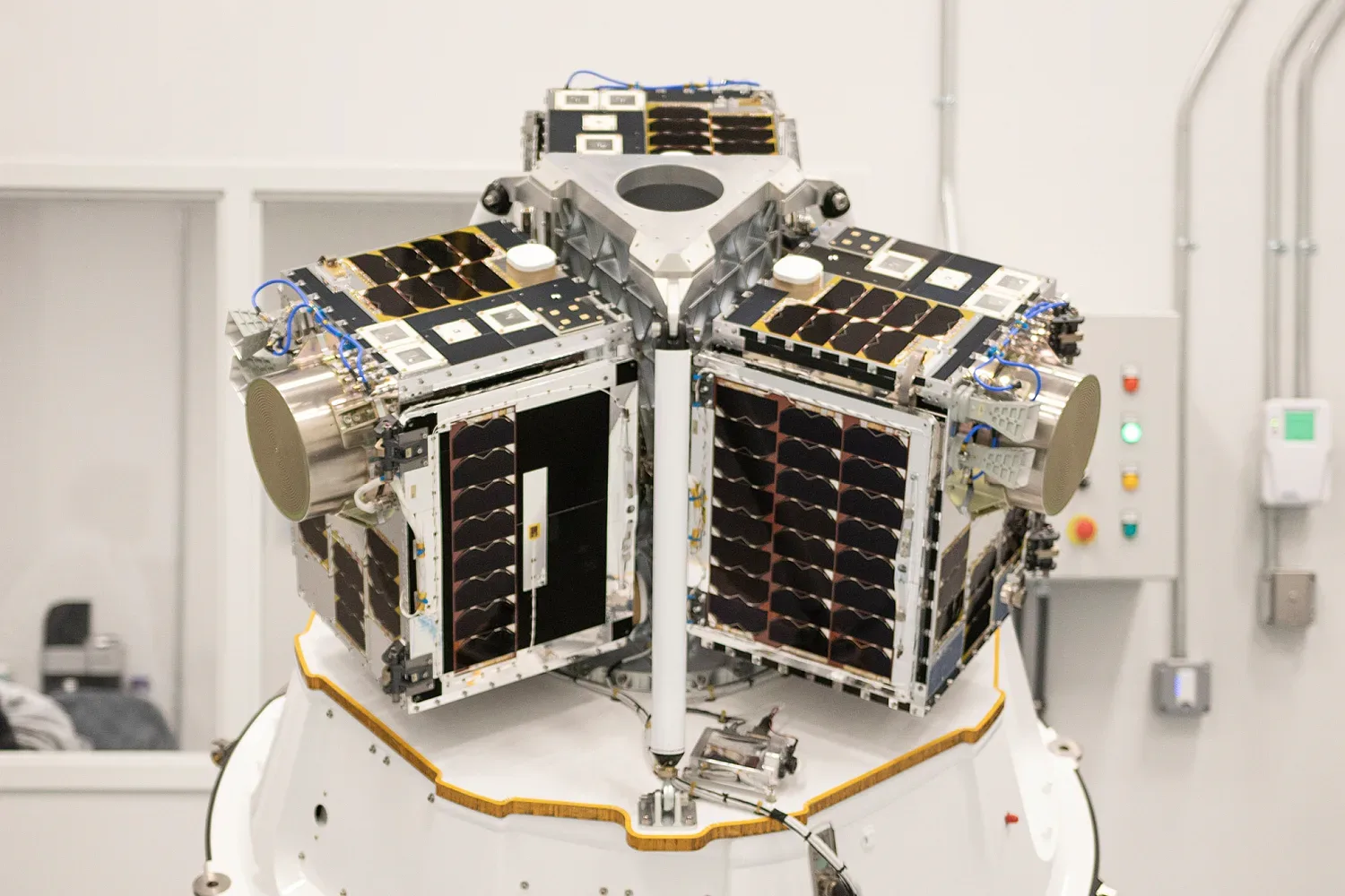
Archive photo of an earlier HawkEye 360 satellite cluster (2022), not the October 2026 mission. Image: HawkEye 360 / Bustle.
On 23 October, Rocket Lab successfully launched three HawkEye 360 HAWK satellites on its Electron rocket from New Zealand. The spacecraft were placed in a roughly 520 km low-Earth orbit; HawkEye 360 has established contact and begun commissioning its new Cluster 16. The satellites use updated antennas intended to collect radio-frequency signals while downlinking mission data, with applications including the detection and geolocation of GNSS jamming. Launch and initial contact are confirmed, but the new cluster is not yet a fully commissioned operational service.
Why it matters: A receiver on the ground can detect that positioning has failed; a network of RF-sensing satellites can help establish where the interfering transmissions originate and how large an area they affect. That information is useful for transport operators and organisations trying to understand disruptions rather than merely endure them.
Source: HawkEye 360, 23 October 2026; Rocket Lab mission record.
2. NATO plans portable GNSS-interference kits for realistic training
NATO's Allied Command Transformation has announced a procurement opportunity for portable GNSS jammer kits, with a solicitation expected on 26 October, bids planned to close on 30 November and an anticipated award in December. The notice concerns six field-deployable systems designed to reproduce disrupted satellite navigation and communications during controlled exercises. The equipment is intended for training and evaluation; the planned procurement is not evidence that these systems have already been delivered or deployed.
Why it matters: Resilience cannot be validated entirely on paper. Controlled test environments let crews and equipment makers discover which receivers, sensors and procedures fail under signal denial, and whether alternative navigation methods actually work before encountering interference in the field.
Source: NATO Allied Command Transformation, opportunity ACT-SACT-26-101; US government procurement notice, 19 October 2026.
3. Ten-gram board offers an independent check on GNSS position
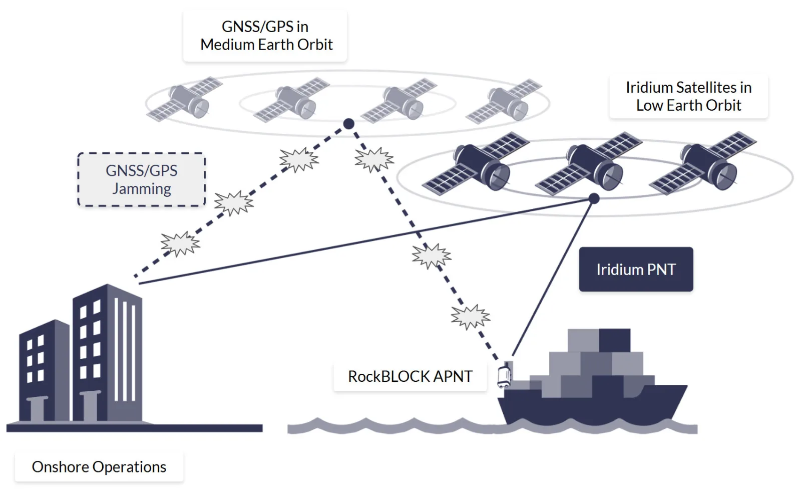
Illustrative system diagram: Ground Control.
Ground Control has introduced the RockBLOCK APNT, a 59 × 36.5 × 7.7 mm, 10 g embedded board using Iridium's positioning, navigation and timing signals as a separate reference for drones, autonomous boats and robots. The device does not contain a GNSS receiver; a host system must compare its Iridium-derived position with its own GNSS data. According to the company, controlled tests at Jammertest 2026 detected divergence caused by spoofing in less than one second while the Iridium-derived position remained available. That is a vendor-reported test outcome, not a guarantee of the same performance in every operating environment.
Why it matters: Spoofing is especially dangerous when a receiver keeps reporting a plausible but false location. An independent measurement source can turn a hidden position error into an integrity warning and allow navigation software to choose a safer fallback.
Source: GPS World, 17 October 2026.
4. New measurements expose the practical limits of real-time centimetre GNSS
Researchers led by TU Berlin and GFZ, working with collaborators from China, compared archived real-time correction streams with final precise products over 31 days of observations from 249 stations. For combined GPS, Galileo and BeiDou-3, one of their evaluated vertical 10 cm positioning thresholds was reached in about 6.5 minutes with a real-time product, versus 1.5 minutes with the final product. The multi-constellation approach reduced sensitivity to correction quality, but tighter error thresholds revealed larger gaps between real-time and post-processed solutions. The experiments replayed archived real-time data without modelling communication outages or correction delays.
Why it matters: Laboratory demonstrations of rapid convergence do not automatically translate into uninterrupted centimetre accuracy on construction sites or moving vehicles. Users planning autonomous or precision workflows must account for correction quality, availability and the effect of interruptions, not just the best advertised accuracy figure.
Source: GPS World, 17 October 2026; Satellite Navigation research paper, 7 October 2026.
5. Live C-band reception brings GPS-independent navigation a step closer
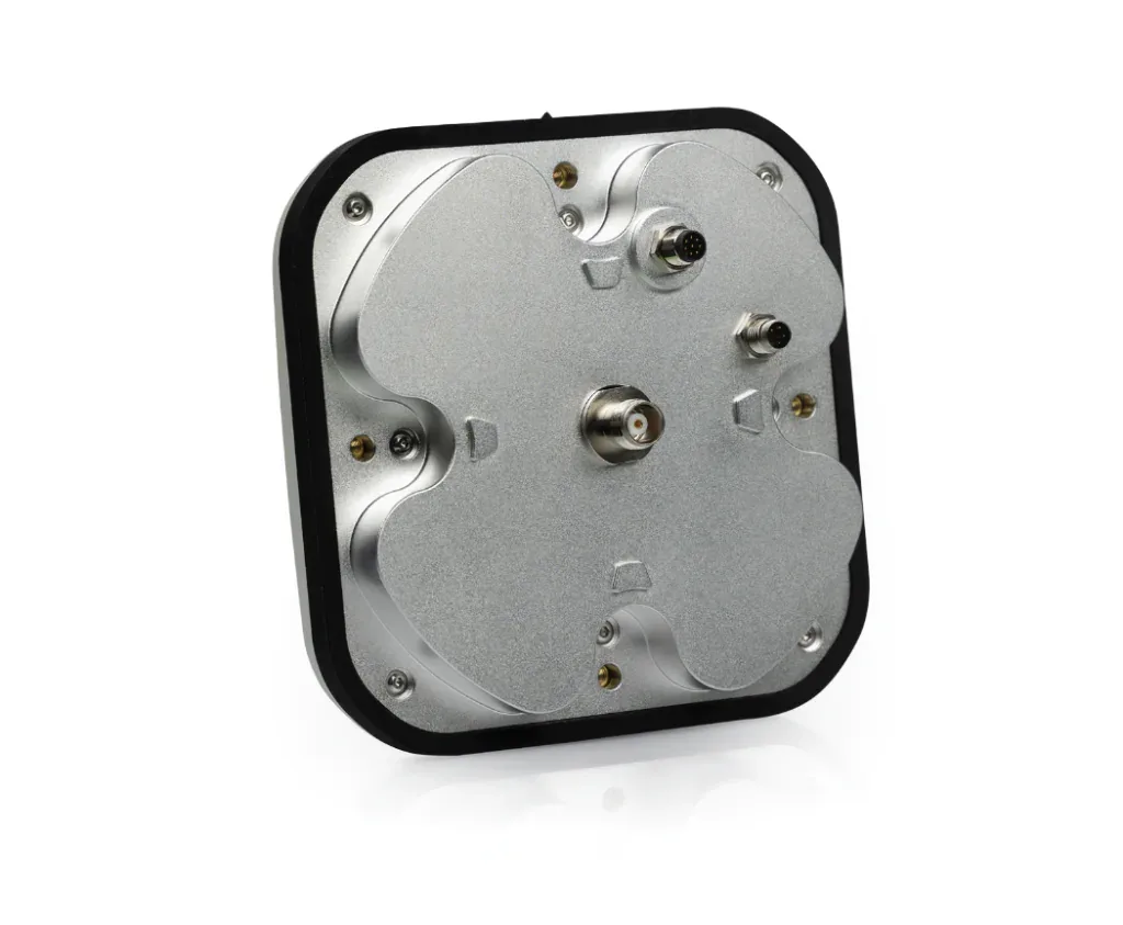
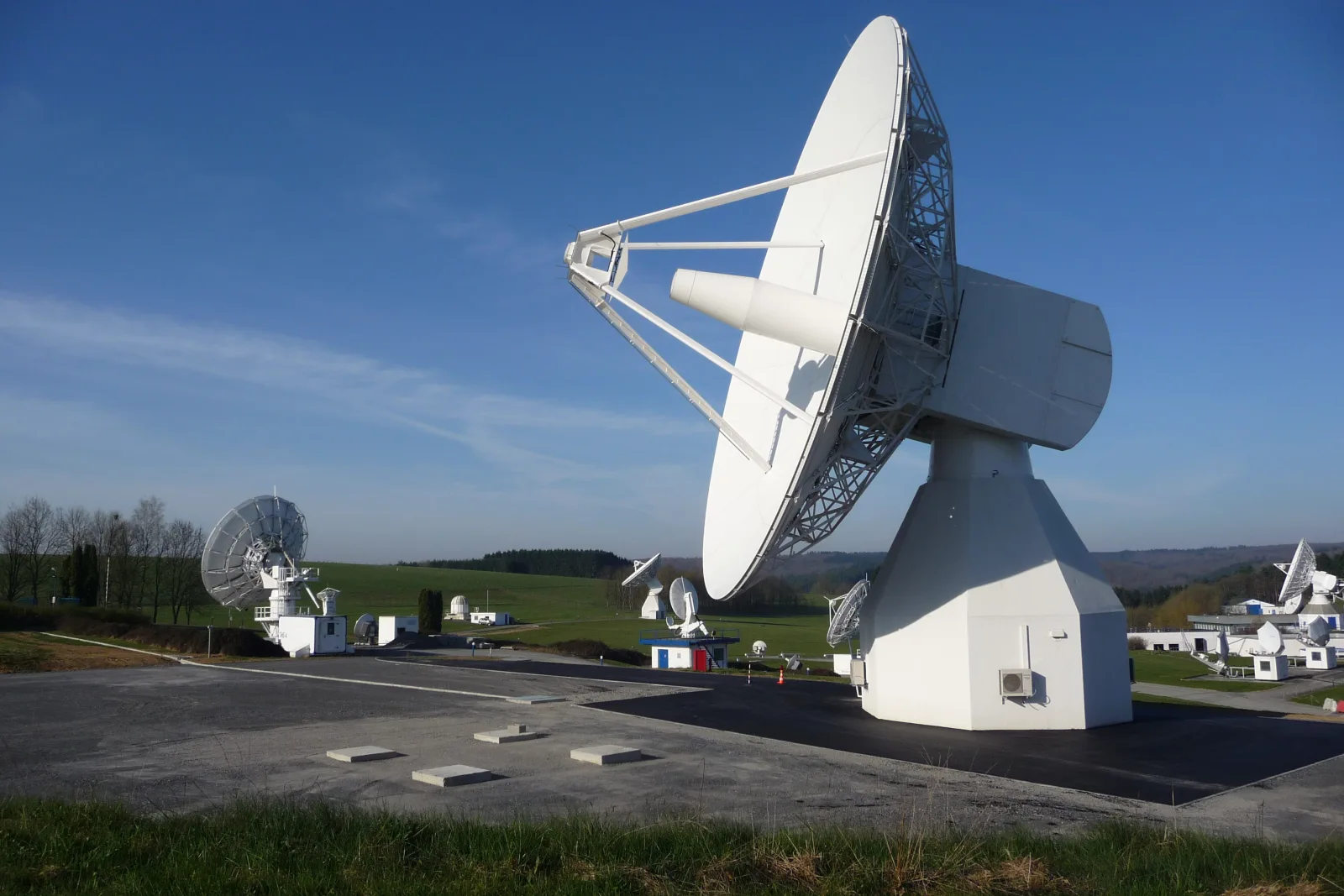
Illustrative photograph of another Calian antenna product, not the newly tested C-band prototype. Image: Calian.
TrustPoint and Calian reported a successful live-orbit test of a commercially manufacturable C-band antenna able to receive TrustPoint's experimental low-Earth-orbit navigation transmissions. Unlike conventional L1/L5 GNSS reception, the work explores a different band for a separate source of positioning and timing. The companies are also developing an antenna combining conventional GNSS bands with C-band. Their planned wider system still needs deployment and validation: an antenna receiving a satellite signal is not the same as an operational global positioning service.
Why it matters: Alternative PNT only becomes practical when satellites, ground control and affordable receivers work together. This test addresses a less visible obstacle to GPS-independent positioning: turning an experimental signal into hardware that manufacturers can realistically integrate.
Source: TrustPoint / Calian announcement, 14 October 2026.
The bigger picture
Navigation resilience is becoming an end-to-end engineering discipline. Detecting interference from orbit, rehearsing failures on the ground, cross-checking independent signals and understanding the real limits of precise corrections are all parts of the same task: a position is useful only when the system can establish how much to trust it.
Related articles
GNSS Daily Briefing - October 23, 2026
NavIC NVS-03, Sweden's anti-jamming GPS order, near-instant centimetre precision and resilient aviation navigation.

GNSS Daily Briefing - October 22, 2026
Five key GNSS stories on resilient drone navigation, Baltic interference, Türkiye’s LEO ambitions, lower-cost machine control and simpler smartphone-connected RTK.
GNSS Daily Briefing - October 24, 2026
Galileo control upgrades and reprogrammable signals, resilient aircraft and railway navigation, and International GNSS Day.
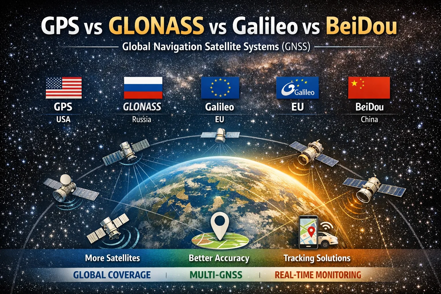
GPS vs GLONASS vs Galileo vs BeiDou: What’s the Difference?
Discover the differences between GPS, GLONASS, Galileo, and BeiDou. Learn how global navigation satellite systems work, why modern devices use multiple GNSS simultaneously, and how tracking platforms turn satellite positioning data into real-world applications.
Comments
Sign in to comment.
No comments yet.