GNSS Daily Briefing - October 27, 2026
Xona's $250M round, Celeste's LEO-PNT test, Marins M1, SAT-JAM monitoring and GPS-spoofed cargo tracking.

Satellite navigation is moving beyond dependence on one type of orbital signal. A commercial LEO constellation is attracting serious investment, while a European experiment has demonstrated how future navigation signals can be generated in orbit and received on Earth.
At the same time, new inertial equipment, satellite-based interference maps and a striking cargo-theft investigation reveal how much reliable positioning matters - and what can go wrong when its integrity is taken for granted.
1. Xona raises $250 million to expand its commercial Pulsar navigation constellation
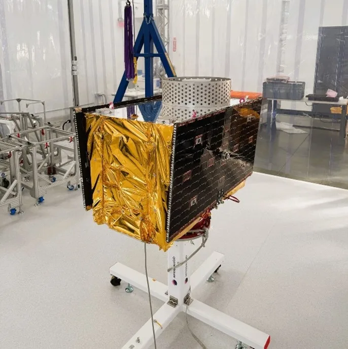
Archive photo of the earlier Pulsar-0 satellite, not the six launched in October. Canadian Space Agency / Xona.
On 22 October, US company Xona announced a $250 million Series D financing round led by Future Ventures, valuing the company at $2.45 billion. The funding follows the launch of six Pulsar satellites on 20 October; four are intended to support initial beta service in several countries in early 2027, while two will validate Xona's in-house spacecraft design. Pulsar is a planned low-Earth-orbit navigation network whose developers claim stronger, authenticated signals and centimetre-level positioning, but continuous global service has yet to be deployed.
Why it matters: Xona's financing and initial spacecraft move private satellite navigation closer to a commercial service alongside GPS, Galileo, GLONASS and BeiDou. Its advertised accuracy and interference resistance must still be judged against operational availability and independent field performance.
Source: Xona / Business Wire, 22 October 2026.
2. Europe's Celeste confirms an end-to-end navigation signal from low Earth orbit

Artist's impression of the Celeste demonstrators on an Electron upper stage. ESA.
Results reported on 26 October describe a key test of the ESA-backed Celeste demonstrator led by Spain's GMV. Its IOD1 satellite, launched in March, generated navigation messages synchronized to Galileo System Time and transmitted signals in the E5 and SR bands; ground receivers acquired and tracked both signals and decoded the navigation data. Importantly, a separate Septentrio receiver also tracked the transmissions using an omnidirectional antenna, although positioning accuracy and user-equivalent range error remain to be assessed.
Why it matters: Generating and receiving usable navigation signals across the complete space-to-ground chain is a prerequisite for Europe's proposed LEO-PNT layer. It is an engineering demonstration, not yet an operational positioning service or proof of a particular accuracy.
Source: Inside GNSS, 26 October 2026.
3. Exail brings fibre-optic inertial navigation to smaller vessels

Illustrative photo of earlier Marins-family instruments, not the newly announced M1. Exail.
French company Exail introduced its compact Marins M1 inertial navigation system on 26 October, targeting patrol craft, small boats and autonomous surface or underwater vehicles. Based on fibre-optic gyroscopes, the unit supplies position and attitude information without a continuous GNSS fix. Exail quotes a maximum position drift of one nautical mile after three hours without external aiding, a manufacturer specification rather than a published independent sea-trial result.
Why it matters: Small vessels often lack the space and power budget for the inertial systems used aboard larger ships. More compact independent navigation reduces the danger of becoming completely position-blind during GPS jamming, though inertial errors still accumulate over time.
Source: Exail, 26 October 2026.
4. SAT-JAM makes GNSS interference visible from orbit
In an interview published 27 October, Technical University of Denmark researcher Kian Bostani Nezhad described SAT-JAM, a free online map built from public GNSS observations made aboard Copernicus Sentinel satellites. The service highlights where orbiting spacecraft have experienced degraded satellite-navigation reception, with source data generally arriving one to three weeks late. Its coloured cells identify where interference was measured, not the location of a transmitter or a guarantee that ships directly underneath experienced the same disruption.
Why it matters: Interference is not confined to terrestrial receivers: it can also affect spacecraft that depend on GNSS for orbit determination. Public satellite observations can help researchers follow broad interference patterns, provided the map is not mistaken for real-time source geolocation or a safety-critical navigation tool.
Sources: SAT-JAM project and Splash247 interview, 27 October 2026.
5. Cargo thefts expose the limits of trusting a vehicle's reported GPS position

Archive truck photo unrelated to the reported cases. FLGALine1999, CC0, Wikimedia Commons.
A 26 October investigation into US thefts of data-centre equipment described criminals using compromised freight accounts, fraudulent driver identities and manipulated shipment tracking. Investigators cited one stolen load of server-rack components worth roughly $10 million whose tracking coordinates had apparently been spoofed; reports put the wider value of data-centre freight stolen since June at more than $100 million. The reporting does not establish whether a GNSS radio signal was forged or whether the tracking data was altered higher up in the software or logistics chain.
Why it matters: A dot moving on a fleet map is not proof that the cargo itself is following the expected route. High-value logistics needs independent checks on location integrity, identities and custody - not just a GPS tracker and an apparently plausible coordinate stream.
Source: Ars Technica, 26 October 2026.
Takeaway
The same question links emerging LEO navigation systems, inertial backups and interference monitoring: can a position estimate still be trusted when ordinary GNSS assumptions break down? New signals improve options, but verification - of measurements, hardware and operational processes - remains essential.
Related articles
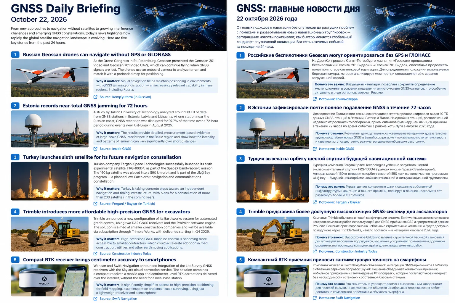
GNSS Daily Briefing - October 22, 2026
Five key GNSS stories on resilient drone navigation, Baltic interference, Türkiye’s LEO ambitions, lower-cost machine control and simpler smartphone-connected RTK.
GNSS Daily Briefing - October 23, 2026
NavIC NVS-03, Sweden's anti-jamming GPS order, near-instant centimetre precision and resilient aviation navigation.

GNSS Daily Briefing - October 24, 2026
Galileo control upgrades and reprogrammable signals, resilient aircraft and railway navigation, and International GNSS Day.
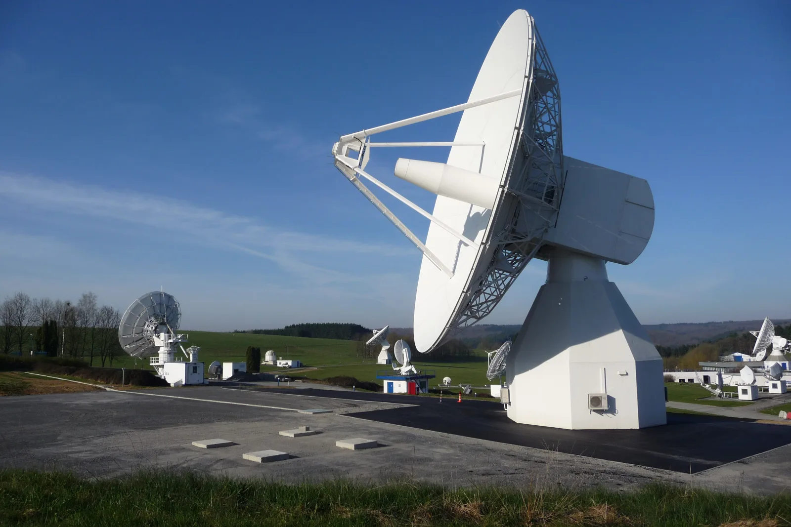
GNSS Daily Briefing - October 25, 2026
Satellite sensing of GNSS jamming, NATO test equipment, Iridium-backed positioning, real-time precision limits and C-band antennas.
Comments
Sign in to comment.
No comments yet.