GNSS Daily Briefing - October 28, 2026
Galileo G2 expands; UTC reform, Russian drone identification, Galileo HAS structural sensing and Canary Islands GPS anomalies.

GNSS Daily Briefing - October 28, 2026
Europe is expanding the next generation of Galileo just as the world's timekeeping authorities prepare a fundamental change to UTC. Both decisions reflect how deeply modern navigation depends on long-term engineering choices that reach far beyond maps and smartphones.
Today's developments also connect satellite navigation to Russian drone operations, affordable structural monitoring and unexpected GPS anomalies in waters near Spain's Canary Islands.
1. ESA orders four more Galileo Second Generation satellites
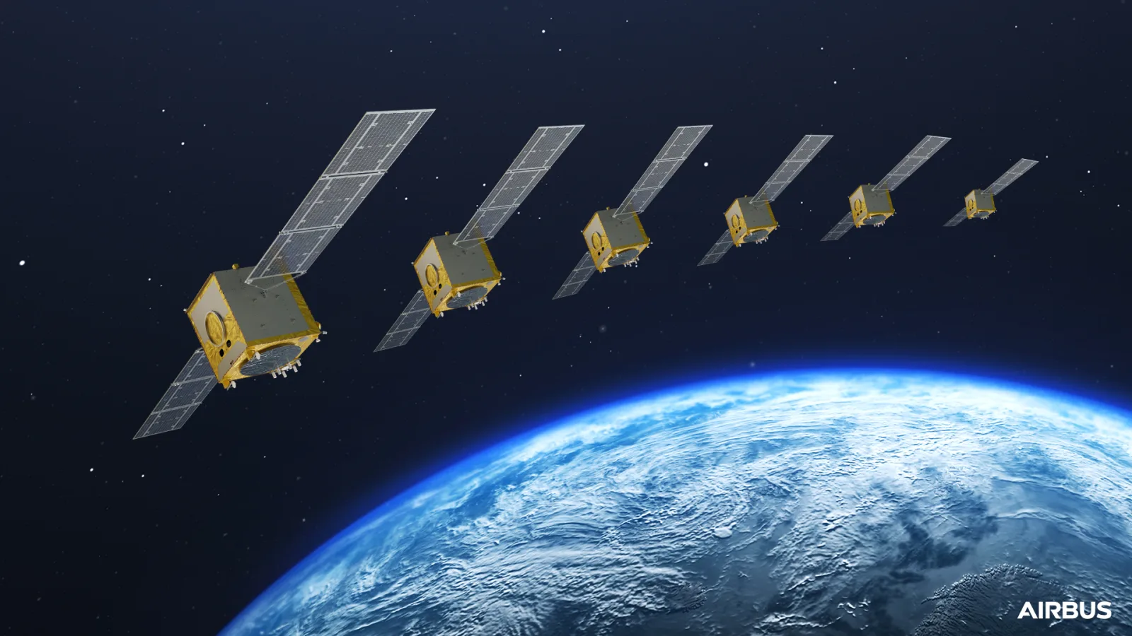
On October 27, the European Space Agency announced contracts for four additional Galileo Second Generation (G2) satellites, raising the planned fleet to 16. Thales Alenia Space in Italy and Airbus Defence and Space in Germany will each build two more spacecraft under contracts signed on October 23 and 26, respectively. ESA expects the new spacecraft to be delivered in 2031, while the first G2 launch remains targeted for 2028. The design brings digital navigation payloads, upgraded antennas, advanced atomic clocks and inter-satellite links.
Why it matters: The additional spacecraft are an investment in the continuity and resilience of Europe's independent GNSS. They also provide industrial capacity for navigation services that will have to withstand growing demands for reliability and resistance to disruption.
Source: European Space Agency, October 27, 2026
2. UTC will become continuous in May 2027
The 28th General Conference on Weights and Measures has resolved that continuous Coordinated Universal Time will take effect on May 20, 2027. Instead of keeping the difference between Earth's rotational time (UT1) and UTC below 0.9 seconds through leap-second adjustments, the permitted gap will rise to 3,600 seconds. The resolution explicitly identifies GNSS navigation messages as a source of UT1-UTC information for applications that still need Earth's rotation angle. The reform is intended to eliminate future leap-second discontinuities, not to reset clocks suddenly next May.
Why it matters: GNSS is as much a global timing infrastructure as a positioning system. Predictable UTC helps protect telecom networks, power systems, transport and software from a class of synchronization faults that is particularly dangerous when a negative leap second is involved.
Source: BIPM, 28th CGPM, Resolution 5 (2026)
3. Russia's ERA-GLONASS requirement reshapes drone-flight approvals
Since October 1, Russian authorities have required an active ERA-GLONASS account for civilian drone flight plans submitted to the national air-traffic-management organization; plans without the required system confirmation can be rejected. The remote-identification framework accepts data from cellular, satellite, hybrid and broadcast tracking devices. On October 28, an industry webinar involving the ERA-GLONASS operator is scheduled to address registration, equipment choices and practical integration problems faced by drone operators. This is a drone identification and traffic-management application of the ERA-GLONASS telematics platform, not a change to the GLONASS satellite constellation.
Why it matters: A tracking device and a working data link are becoming operational prerequisites for many civilian drone flights in Russia. Whether equipment and software interoperate smoothly will directly affect inspection, mapping, agricultural and logistics missions.
Sources: Russian Ministry of Transport, September 24 · BAS.EXPO industry session, October 28
4. Galileo HAS tested for real-time earthquake-motion tracking
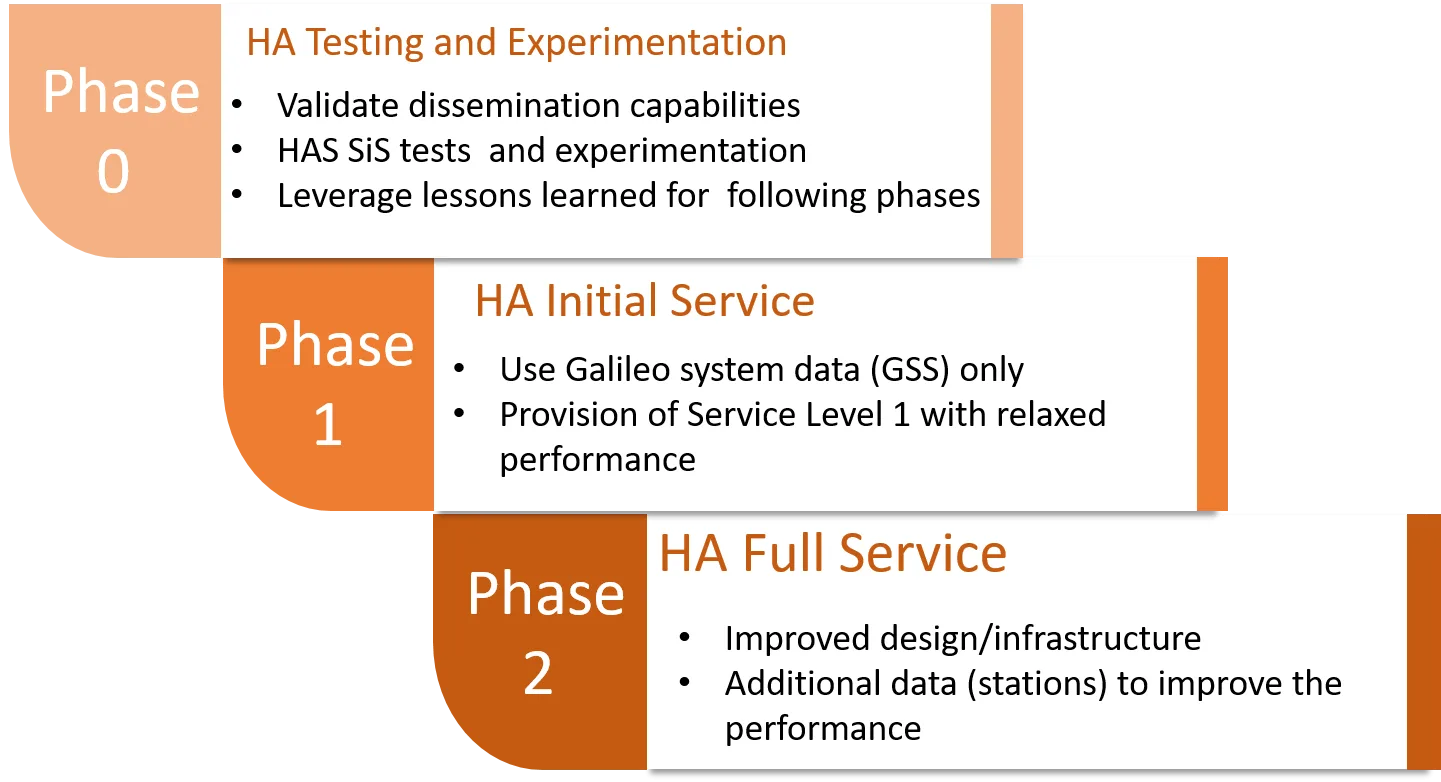
A peer-reviewed study published in GPS Solutions evaluated whether Galileo's High Accuracy Service (HAS) can help inexpensive GNSS receivers track fast structural movements. Researchers used a shake table to reproduce oscillations, displacement steps and ground motions based on the Loma Prieta and Kobe earthquakes. Low-cost HAS solutions generally followed the movement better than low-cost real-time PPP and detected dominant oscillation frequencies, but remained less accurate than RTK; errors for some larger permanent offsets exceeded 30 mm. The tests demonstrate technical potential, not a deployed earthquake-warning service.
Why it matters: Satellite correction services could lower the cost of monitoring bridges, buildings and other structures. The results also show the precision limits engineers must account for before relying on budget GNSS hardware in safety-critical monitoring.
Source: Bezcioglu and colleagues, GPS Solutions (2026)
5. Ship-tracking analysis finds spoofing-like anomalies near the Canary Islands
In a large-scale research preprint, investigators analyzed AIS vessel tracks covering more than 367,000 ships from late November 2024 through early February 2025. Their method identified 31 geographic clusters of abnormal navigation behavior; the authors judged at least 22 of them strongly consistent with GPS spoofing. Beyond known interference-prone seas, the study found recurring synchronized anomalies near the Canary Islands and unexpected cases in the Gulf of Mexico and near Panama. AIS anomalies alone cannot prove who transmitted a false signal, and the findings describe the historical observation period rather than a live warning for today's shipping.
Why it matters: Fleet-scale movement data may reveal hidden navigation hazards before they appear in incident reports. The Canary Islands findings are a particular reminder that maritime GPS integrity needs attention well outside traditional conflict zones.
Source: “She Spoofed Sea Ships by the Sea Shore,” research preprint
The bigger picture
Two priorities are converging: build navigation and timing systems that can keep operating for decades, and measure how well users can trust their signals in the field. New Galileo satellites and continuous UTC address the foundations; drone identification, low-cost sensing and maritime anomaly detection put those foundations to the test.
Related articles
GNSS Daily Briefing - October 29, 2026
FAA GNSS interference detection; Spain's Galileo ground upgrade; anti-spoofing nuclear safeguards; BeiDou messages; factor-graph navigation.
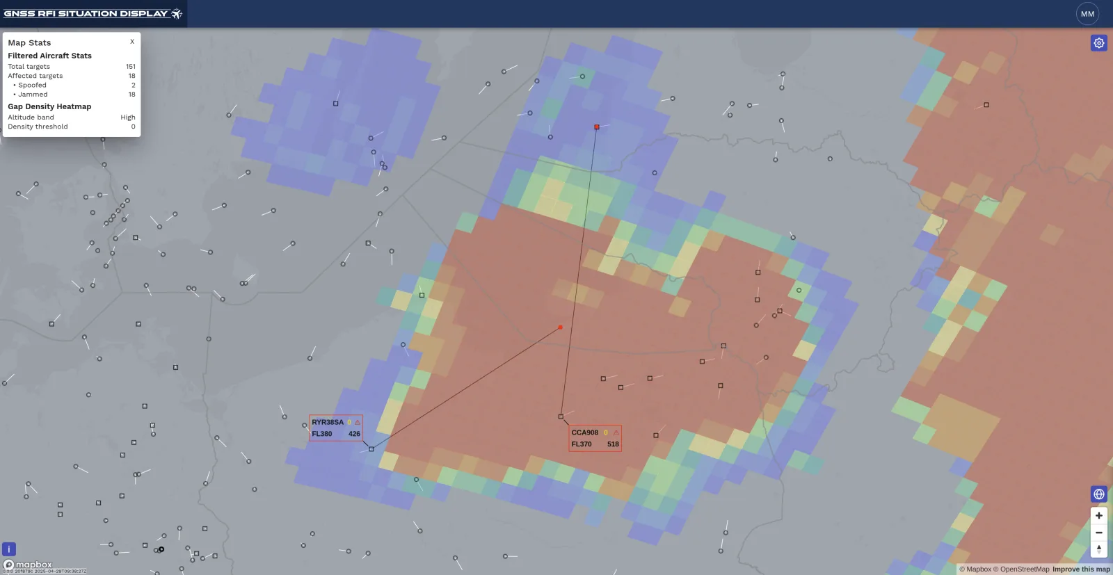
GNSS Daily Briefing - October 22, 2026
Five key GNSS stories on resilient drone navigation, Baltic interference, Türkiye’s LEO ambitions, lower-cost machine control and simpler smartphone-connected RTK.
GNSS Daily Briefing - October 23, 2026
NavIC NVS-03, Sweden's anti-jamming GPS order, near-instant centimetre precision and resilient aviation navigation.
GNSS Daily Briefing - October 24, 2026
Galileo control upgrades and reprogrammable signals, resilient aircraft and railway navigation, and International GNSS Day.
Comments
Sign in to comment.
No comments yet.