GNSS Daily Briefing - October 26, 2026
GNOMES-11 weather observations, Baltic GNSS interference, INS-NV sensor fusion, a reported aviation GPS loss and precision track construction.

Satellite-navigation signals are doing more than guiding vehicles: they are probing the atmosphere, exposing interference patterns and feeding navigation systems designed to work even when GPS cannot. This edition looks at five developments in space, research, aviation and engineering that show the value of both accurate signals and independent backups.
The key question running through them is not simply how precisely a device can calculate its position, but whether its measurements remain useful under real-world conditions.
1. PlanetiQ launches GNOMES-11 to turn GNSS signals into weather data
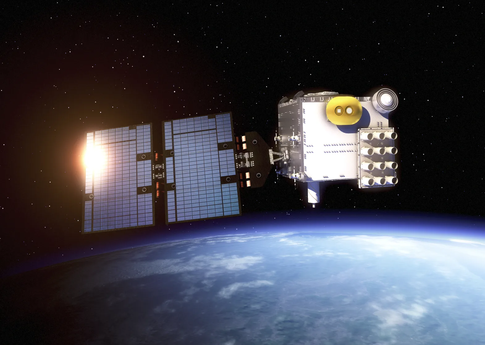
Illustration of the GNSS radio-occultation method using a different mission (COSMIC-2). Image: NASA Goddard Space Flight Center.
US company PlanetiQ announced on 23 October that its GNOMES-11 satellite had launched aboard SpaceX's Bandwagon-5 mission on 20 October, with initial contact established and commissioning under way. Built by Muon Space and carrying PlanetiQ's Pyxis sensor, the spacecraft will measure how navigation signals bend as they pass through Earth's atmosphere - a technique known as GNSS radio occultation. Its low-inclination orbit is intended to add observations in tropical regions, where weather forecasting benefits from better atmospheric sampling. The satellite has not yet been declared operational.
Why it matters: GNSS is also a remote-sensing tool. Radio-occultation profiles can help estimate atmospheric temperature and moisture, feeding numerical weather prediction models without depending on clear skies or daylight.
Source: PlanetiQ, 23 October 2026. See also the WMO OSCAR satellite status.
2. Baltic reference stations reveal a shift toward prolonged GNSS disruption

Geographical reference map, not an interference measurement. NormanEinstein, CC BY-SA 3.0, via Wikimedia Commons.
An analysis reported by Inside GNSS on 21 October examined multi-year observations from continuously operating reference stations in Estonia, Latvia and Lithuania. Researchers at Tallinn University of Technology used satellite signal-strength and positioning data, along with anomaly-detection methods, to assess interference from 2023 through 2025. At some Estonian stations, disruptions that had once been intermittent evolved into extended periods of sharply degraded reception or complete signal loss. The station records demonstrate the local impact of interference but do not, by themselves, conclusively identify its transmitter.
Why it matters: High-quality reference stations provide a more objective record than isolated reports of failed navigation apps. Long-term observations can help transport operators, surveyors and authorities distinguish routine receiver problems from a persistent deterioration in the radio environment.
Source: Inside GNSS, 21 October 2026.
3. New development unit combines GNSS, inertial navigation and computer vision
On 22 October, Inertial Labs, a VIAVI Solutions company, introduced INS-NV, a programmable development platform for alternative positioning, navigation and timing systems. The device combines inertial sensing with a multi-constellation GNSS receiver and NVIDIA Jetson Orin NX computing, allowing developers to run vision-based and sensor-fusion algorithms on the same platform. It supports GPS, GLONASS, Galileo, BeiDou, QZSS and NavIC inputs. INS-NV is a tool for building and testing resilient navigation solutions, not a guarantee of accurate autonomous navigation in every GNSS-denied environment.
Why it matters: There is no universal substitute for GNSS. Bringing inertial measurements, imagery and satellite signals into one programmable system makes it easier to evaluate which combinations continue to work when a camera is obscured, inertial estimates drift or satellite reception is disrupted.
Source: VIAVI / Inertial Labs, 22 October 2026.
4. Qatar Airways flight reportedly loses both GPS feeds over Iraq
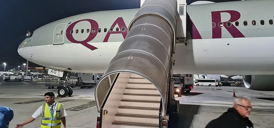
Archive photo of the aircraft, not taken during the reported incident. Umedha Hettigoda, CC BY-SA 2.0, via Wikimedia Commons.
A report published by AIRLIVE on 24 October described a GPS-related incident on Qatar Airways flight QR719, operating from Doha to Seattle on 20 October. According to that report, the Boeing 777-300ER's two GPS inputs became unavailable over Iraq and the issue reportedly persisted as the aircraft continued toward Europe. The crew relied on other onboard navigation references and the flight reached its destination safely. The report does not establish whether external jamming, spoofing or an equipment problem caused the loss; no independent technical finding was available in the cited account.
Why it matters: Airliners use several navigation sources for a reason. A reported dual-GPS loss is a useful reminder that satellite-signal integrity must be monitored and that crews need validated alternatives when GNSS information becomes unavailable or suspect.
Source: AIRLIVE, 24 October 2026.
5. GNSS-guided machinery shapes Buenos Aires circuit renovation

Archive view of the race circuit, not a photo of the GNSS-guided paving machines. Government of the City of Buenos Aires, CC BY 2.5 AR, via Wikimedia Commons.
A report from Argentina on 23 October detailed a resurfacing and reconstruction project at the Óscar y Juan Gálvez motor-racing circuit in Buenos Aires ahead of planned MotoGP activity in 2027. The works involve approximately 43,000 tonnes of asphalt and a digital construction workflow that combines 3D scanning, design software and machine guidance. GNSS and Sonic Tracker measurements are being used to help paving and milling equipment follow the planned surface geometry, rather than relying solely on manual checks. The article describes the technology being used in the project, not a completed, independently verified improvement in lap times or track safety.
Why it matters: High-precision positioning has practical value far beyond a navigation screen. In civil engineering, it helps translate a digital surface model into repeatable machine movements, potentially reducing rework and improving consistency across large construction sites.
Source: Noticias24 Argentina, 23 October 2026.
The bigger picture
These five stories show two sides of the same technology. GNSS measurements support weather science and centimetre-scale construction, while interference research and multisensor navigation expose the need for independent checks. The future of positioning is not only about stronger satellite signals: it is about extracting more value from them while remaining useful when they fail.
Related articles
GNSS Daily Briefing - October 25, 2026
Satellite sensing of GNSS jamming, NATO test equipment, Iridium-backed positioning, real-time precision limits and C-band antennas.
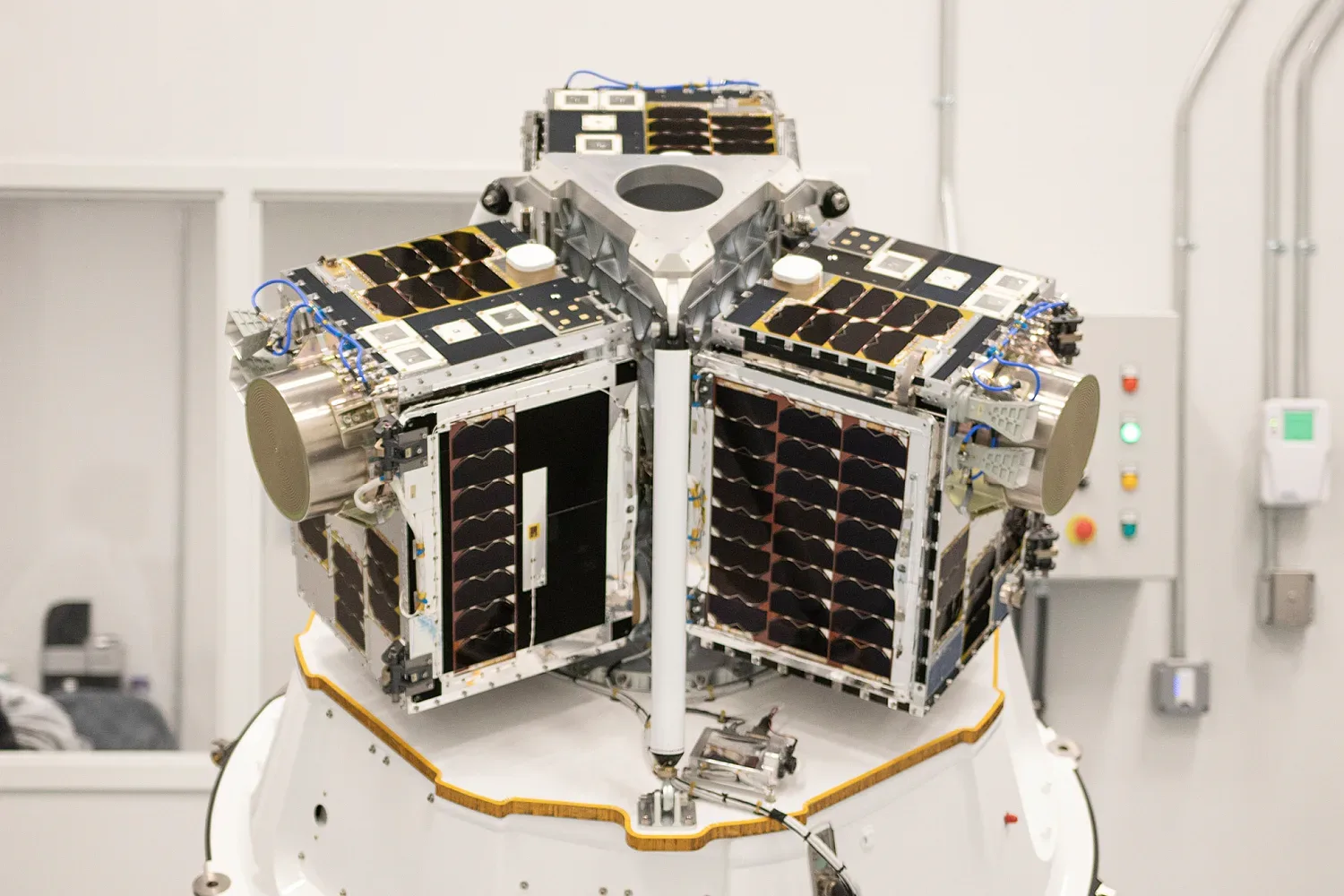
GNSS Daily Briefing - October 22, 2026
Five key GNSS stories on resilient drone navigation, Baltic interference, Türkiye’s LEO ambitions, lower-cost machine control and simpler smartphone-connected RTK.
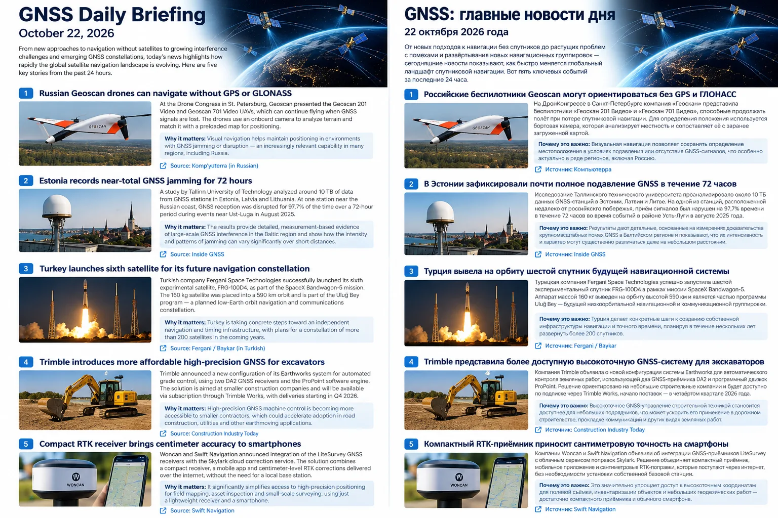
GNSS Daily Briefing - October 23, 2026
NavIC NVS-03, Sweden's anti-jamming GPS order, near-instant centimetre precision and resilient aviation navigation.

GNSS Daily Briefing - October 24, 2026
Galileo control upgrades and reprogrammable signals, resilient aircraft and railway navigation, and International GNSS Day.
Comments
Sign in to comment.
No comments yet.